 newspop
Snowfall Isn’t Magic ! Here’s What Happens Inside the Clouds
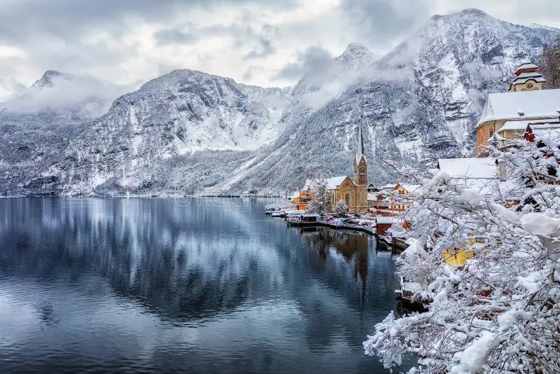
When the mountains suddenly turn white and snowflakes begin falling from the sky, it may look magical but behind every snowflake is a fascinating scientific process. As winter approaches, changing wind patterns, falling temperatures, atmospheric pressure and the movement of moisture-bearing weather systems begin shaping the weather across northern India.
In the Himalayan region, one of the most important systems responsible for winter precipitation is the Western Disturbance, an eastward-moving weather system that can bring rain and snowfall to the western Himalayas and rain, thunderstorms or hail to parts of the northern plains.
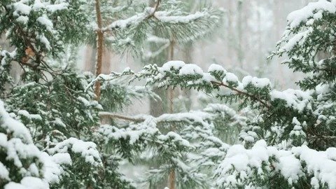
But how does ordinary moisture in the atmosphere actually turn into snow? Snow begins forming inside clouds when temperatures are sufficiently low for water vapour to freeze into tiny ice crystals. As these crystals grow by collecting more water vapour and other ice particles, they gradually become snowflakes. When the air remains cold enough through the lower atmosphere, the snowflakes can reach the ground without melting; at higher elevations in the Himalayas, the combination of altitude, cold temperatures, moisture and mountain terrain creates particularly favourable conditions for snowfall.
The mountains also play a major role because rising air is forced upward by the terrain, causing it to cool and encouraging condensation and precipitation a process known as orographic lifting. IMD material identifies orographic forcing as a dominant factor in precipitation over parts of the central Himalayas, while Western Disturbances are a major source of winter snowfall in the region.
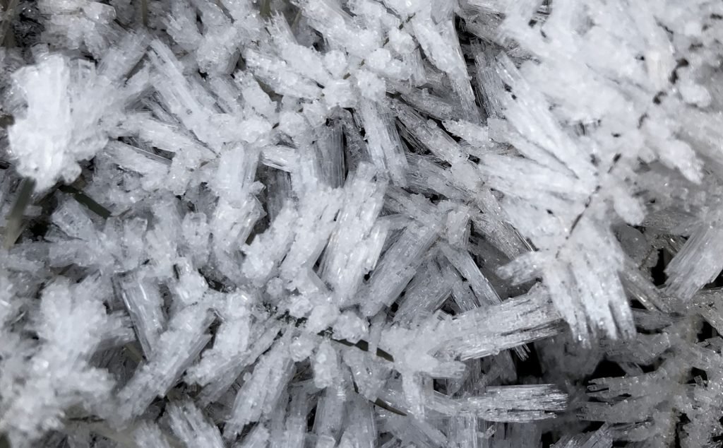
When a Western Disturbance moves across the Himalayas, moisture-laden air interacts with the cold mountain environment, producing precipitation that can fall as snow over higher elevations and as rain over relatively warmer lower areas. At the same time, cold northerly winds and clear skies after a weather system passes can contribute to a sharp fall in temperatures.
During clear winter nights, the land surface loses heat through terrestrial radiation, allowing temperatures near the ground to drop significantly; under suitable conditions, this can contribute to frost, fog and very cold mornings. Winter rain can also make people feel colder because wet surfaces, increased humidity and the arrival of colder air can combine with reduced sunshine to keep temperatures low. Scientists therefore monitor atmospheric pressure, wind direction, temperature, humidity, cloud patterns and incoming weather systems to forecast winter rain and snowfall.
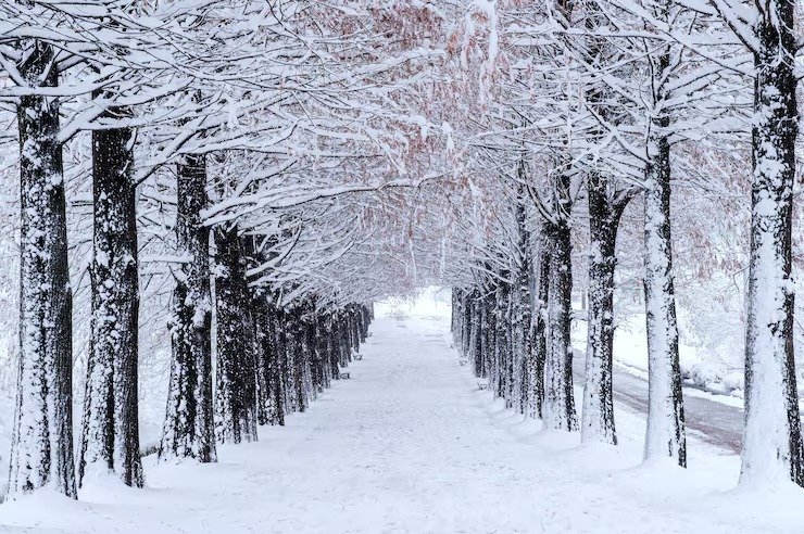
Historical IMD observations and research show that Western Disturbances repeatedly influence winter precipitation over northwest India, with their effects extending from the Himalayan mountains to parts of the northern plains.
So, the next time you watch snowflakes falling over the Himalayas, remember that every tiny crystal is the result of a complex interaction between cold temperatures, atmospheric moisture, clouds, winds and mountain geography turning ordinary water vapour into one of winter’s most spectacular natural phenomena.